| PR Home | Newsletter | Countries |
| Home | Help | Photochromes | Lighthouses | Places |

|
Photo Archive |
|
. |
|
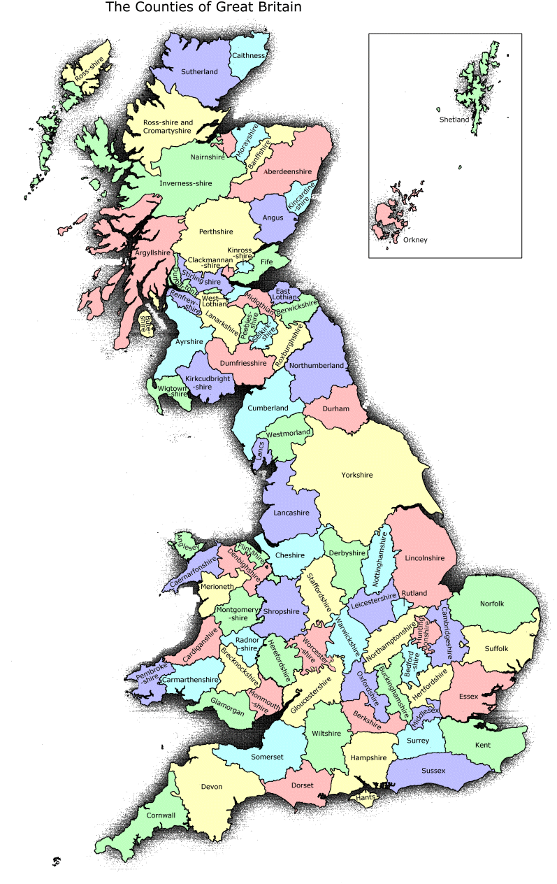
Archive - Large Photochromes Photochrome Collection Identified by County LocationChanges over time: Over the years, the county structure has been changed a number of times. The map below shows the older counties and the list on the left a more recent, but not current, list, there are slight differences. With boundary changes some places may move from one county to another, at different times, so use the map to check the next counties. You can click on the map, or use the list to get to county index pages. On some pages we have also put links to other pages that may help.
Special Areas Lake District, Cumbria, may be part of Yorkshire, previously Cumberland, Westmorland, Lancashire Avon Bristol, Bath and area, previously parts of Gloucestershire, Wiltshire and Somerset, most now South Gloucestershire Merseyside part of Cheshire and Lancashire Tyne & Wear part of Northumberland and Durham Northern Ireland and IRELAND - select from list on the left or use the Ireland Map.
|
||||||
|
||||||
| . | ||||||
|
||||||
|
|